Stage Distance: 7 miles (Total Distance: 35.5 miles)
 Another glorious morning! Through the gardens of The Hunter's Inn and back to the stone bridge where we picked up the coast path again. A steep zig-zag up through Heddon's Mouth Wood and up side of the cleave out onto heather-covered moorland. A quick stop to recover at Peter Rock with fine views down to Highveer Point at the mouth of the cleave.
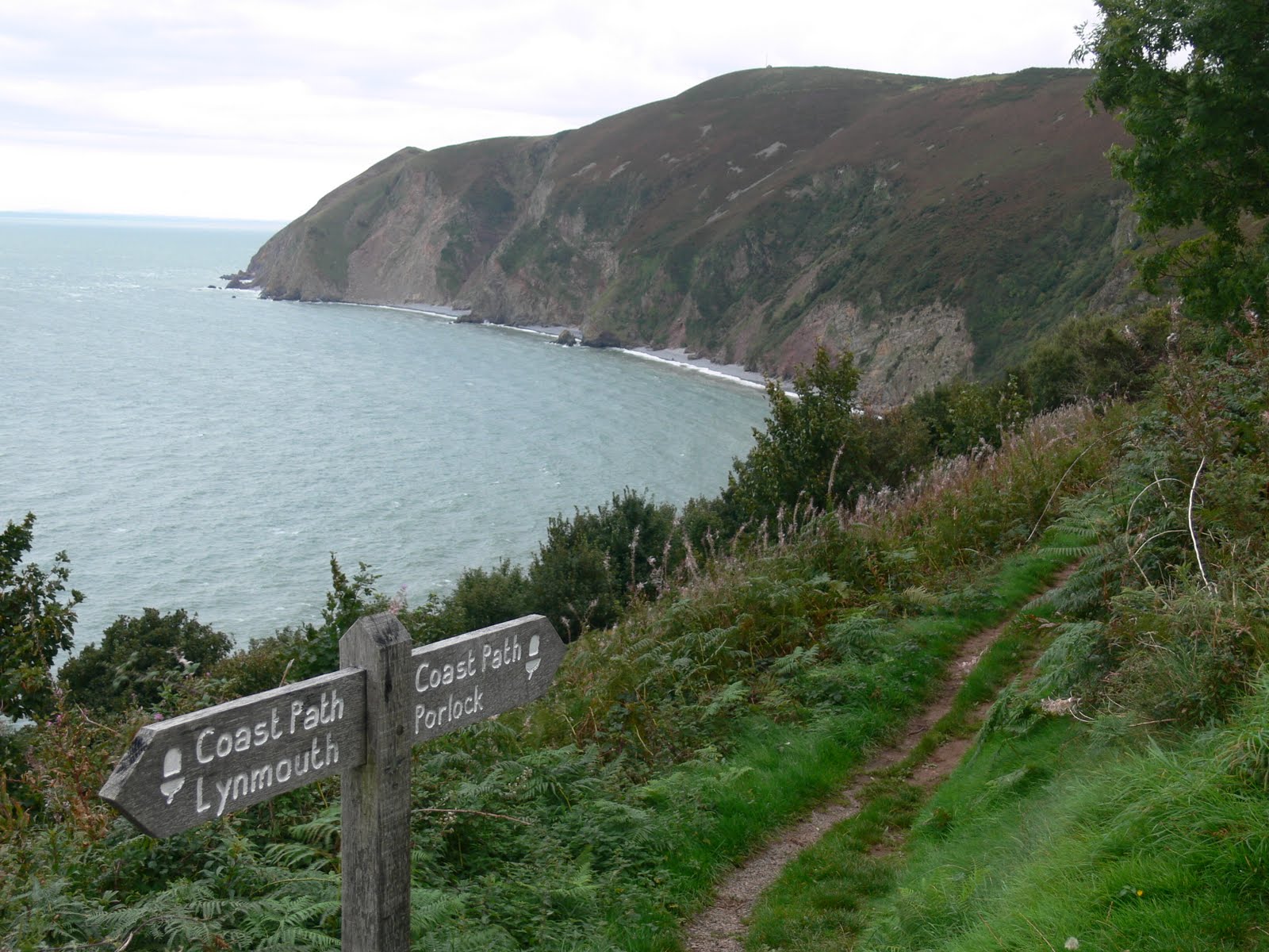
The view stretched westward along the coast for miles from High Cliff. We stopped for lunch in the field above the pleasantly-named North Cleave Gut where it was warm and sheltered from the strong wind.
On past Neck Wood, clinging to the cliffside (the wood, not us) and then onto the open moorland of Trentishoe Down where we were entertained by a paraglider. We soon got our first view of Great Hangman, the highest point on the whole South West Coast path. Unfortunately, the climb up Great Hangman is prefaced by a very steep descent down to Sherrycombe. Saw a lovely adder on the way down but before the camera could be brought to bear, our stomping had scared it off.
From Sherrycombe, we started the steep climb up Girt Down (renamed Girt Up by us of course), finally reaching the cairn on Great Hangman. The views in all directions were spectacular (see the banner photo on the blog among others). From then on, it was down, past Little Hangman, Lester Cliff and Wild Pear Beach, finally reaching the Kiln Car Park in Combe Martin and the car. Three great days of walking and very lucky with the weather!
Logistics: Parked at Kiln car park, Combe Martin and booked a taxi back to Hunter's Inn (cost £15).
GPS Track: 5 - Hunter's Inn to Combe Martin (20100926).kmz
Images: 5 - Hunter's Inn to Combe Martin

.JPG)